
KNS Win City Connectivity
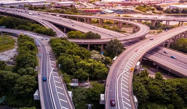
KNS Win City connectivity starts with NH-48, the Bengaluru-Tumakuru Expressway, just 2.5 km from the site. You reach this highway in about 5 minutes from the township at Nelamangala. The local railway station is 4.2 km away, and Madavara Metro Station is 13 km away. The city airport sits 45 km from the project. Job hubs like Dabaspet and Peenya lie within a 20 to 30-minute drive. That makes the project a practical pick for daily commuters and long-term investors.
Here is a full breakdown of road, rail, metro and air links. You will also see the new projects that could cut travel times in this belt.
Where KNS Win City Is Located
The project lies 2.5 km beyond the Nelamangala Toll Plaza along NH-48, also called Tumkur Road. Here are the exact details you need to find it on the map.
| Location Detail | Information |
|---|---|
| Villages | Ananthapura and Machonayakanahalli |
| Hobli and Taluk | Kasaba Hobli, Nelamangala Taluk |
| District | Bengaluru Rural, Karnataka 562123 |
| Bordering village | Kanegowdanahalli |
| Coordinates | 13.1313714, 77.3796437 |
| Plus Code | 7J5V49JH+GV |
You can drop the coordinates or the Plus Code into Google Maps to plan your site visit.
KNS Win City Distance Chart
| Destination | Distance or Travel Time |
|---|---|
| Bengaluru-Tumakuru Expressway (NH-48) | 2.5 km, about 5 minutes |
| Nelamangala Railway Station | 4.2 km |
| Madavara (BIEC) Metro Station | 13 km, about 20 to 25 minutes |
| Dabaspet Industrial Hub | About 20 minutes |
| Mysore Road | About 20 minutes |
| Peenya Industrial Area | About 30 minutes |
| Electronic City (via NICE Ring Road) | About 40 minutes |
| Kempegowda International Airport | 45 km, about 50 to 60 minutes |
Travel times depend on traffic and the time of day, so plan peak-hour trips with some extra buffer.
Road Connectivity
NH-48 and the Bengaluru-Tumakuru Expressway
NH-48 is the main lifeline for KNS Win City. It connects you to Yeshwanthpur and Peenya towards the city. In the other direction, it takes you to Dabaspet and Tumakuru. Since the project is only 2.5 km away, you skip long village roads on your daily drive.
NH-75 Towards Hassan and Mangaluru
Nelamangala is the junction where NH-75 branches off towards Kunigal, Hassan and Mangaluru. This gives you a direct route for weekend trips to the coast or the Western Ghats. It also adds to the area's appeal for logistics firms.
NICE Road and Mysore Road
NICE Road links Tumkur Road with Mysore Road and Hosur Road on the south side. Mysore Road is about 20 minutes away, and Electronic City is about 40 minutes via NICE. This route helps you bypass central Bengaluru traffic when you head south.
Satellite Town Ring Road (STRR)
The Dobbaspet to Hoskote section of the Satellite Town Ring Road opened on 11 March 2024. Dabaspet is about 20 minutes from the project, where you can join the STRR. From there, you reach Doddaballapur, Devanahalli and Hoskote without entering the city.
Metro Connectivity
Madavara (BIEC) Metro Station
The nearest metro station is Madavara on the Green Line, 13 km from the project. This end of the line opened for riders on 7 November 2024. From Madavara, trains run south through Yeshwanthpur, Majestic and Jayanagar. The full line covers 33.46 km up to Silk Institute.
For daily office travel, you can drive or take a bus to Madavara and switch to the metro. This helps you skip the heavy Tumkur Road traffic near Peenya and Yeshwanthpur.
Proposed Madavara to Tumakuru Metro
In May 2026, BMRCL sent the state its report for a 59.6 km line from Madavara to Tumakuru. The route runs through Makali, Nelamangala, Dabaspet and Kyathasandra. The plan now waits for a cabinet decision. Once built, it would be the first metro line in Karnataka to link two districts.
A metro stop at Nelamangala would bring the city much closer for residents of KNS Win City. For now, treat it as a future benefit that adds to the existing road links.
Rail Connectivity
Nelamangala Railway Station is just 4.2 km from the project. It sits on the rail line that runs from Bengaluru towards Kunigal and Hassan. For longer trips, Yeshwanthpur and KSR Bengaluru City stations link you to most of India. You can reach both of them easily via NH-48.
Air Connectivity
Kempegowda International Airport is 45 km away, and the drive takes about 50 to 60 minutes. The fastest route runs through the STRR via Dabaspet and Doddaballapur, or through the city via Hebbal. If you fly often, plan your trips around off-peak hours for a smoother drive.
Employment Hubs Near KNS Win City
West Bengaluru is a major base for factories, warehouses and engineering firms. Several large job hubs sit within an easy drive of the project.
- Peenya, about 30 minutes away, is one of the largest factory hubs in South India
- Dabaspet, about 20 minutes away, has many factories and large warehouses along NH-48
- BIEC at Madavara holds major trade shows and exhibitions, and sits 13 km from the project
- Electronic City, about 40 minutes via NICE Road, is home to large IT and electronics firms
Living close to these hubs cuts your commute and gives you better work-life balance. For investors, steady job growth in this belt supports long-term demand for homes and plots.
How Connectivity Shapes Value at KNS Win City
Good access is one of the strongest drivers of land value. KNS Win City sits close to a highway, a rail station and a metro line. Add the STRR link via Dabaspet and the proposed metro, and the corridor gains strong transport support.
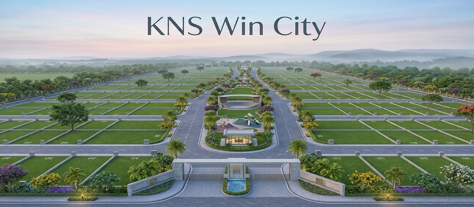
The project is Phase III of KNS Samooha, a 165+ acre township with 2,500 plots. Its 24-metre boulevards and 12-metre internal roads also make movement inside the layout easy. See the KNS Win City location page for the full map. You can also check the price page for current plot rates.
FAQs
KNS Win City is 2.5 km from NH-48, the Bengaluru-Tumakuru Expressway. The drive takes about 5 minutes from the project.
Madavara (BIEC) Metro Station on the Green Line is the nearest, at 13 km. The drive takes about 20 to 25 minutes.
Kempegowda International Airport is 45 km from KNS Win City. The drive takes about 50 to 60 minutes, depending on the route and traffic.
Yes, the town's railway station is just 4.2 km from the project. For longer trips, you can reach the main city stations via NH-48.
Peenya is about 30 minutes away via NH-48 in normal traffic. Dabaspet is even closer, at about 20 minutes.
Yes, the proposed 59.6 km line from Madavara to Tumakuru runs through Nelamangala. Its project report reached the state in May 2026. A local stop would bring the city much closer.

Social Infrastructure in Nelamangala
The town has schools, hospitals, banks, markets and public offices that serve nearby villages. You get daily needs within a short drive of the project. Larger malls and hospitals sit along Tumkur Road towards Yeshwanthpur.
Inside the township, a 1-acre clubhouse zone offers a café, a mini theatre and sports courts. These cut down the need to travel for everyday leisure.