KNS Win City Location
KNS Win City Location is at Ananthapura and Machonayakanahalli villages in Nelamangala, Bengaluru, off the Bengaluru–Tumakuru Expressway / NH-48 (Tumkur Road). The plotted township sits 2.5 km beyond the Nelamangala Toll Plaza, with the highway about 5 minutes away.
Where the Layout Sits in Nelamangala
KNS Win City is the launch name of KNS Samooha Phase III, a residential plotted township by KNS Group. This phase covers 74 acres with 1,225 plots, and it is part of the wider KNS Samooha township of 165+ acres and 2,500 plots. The layout borders Kanegowdanahalli village.
The Bengaluru–Tumakuru Expressway / NH-48 is 2.5 km away, and Nelamangala Railway Station is 4.2 km away. Madavara (BIEC) Metro Station on the Green Line is 13 km away, and Kempegowda International Airport is 45 km away, about 50 to 60 minutes via Tumakuru Road / NH-48.
Everyday needs are close by. MKV English High School is 3.6 km from the layout, Harsha Hospital is 3.5 km away and Vishal Mega Mart is 4.5 km away. Dabaspet Industrial Hub, Peenya Industrial Area and Parle-G Factory are all reachable by road along NH-48 and Tumkur Road.
The project was launched on 5 November 2026. The proposed completion date is 23 August 2029, with possession on 23 September 2029.
Road, Metro, Rail and Airport Connectivity
The KNS Win City layout connects to Bengaluru through NH-48, with metro, railway and airport links within a practical drive. The table lists the distances and travel times from the project.
| Destination | Mode | Distance / Time |
|---|---|---|
| Bengaluru–Tumakuru Expressway / NH-48 (Tumkur Road) | Road | 2.5 km, about 5 min |
| Madavara (BIEC) Metro Station, Green Line | Metro | 13 km, 20–25 min |
| Goraguntepalya Metro & Hub | Metro | 20 km, 35 min |
| Nelamangala Railway Station | Rail | 4.2 km, 10–12 min |
| Yeshwanthpur Railway Station | Rail | 25 km, 45 min |
| Kempegowda International Airport | Air | 45 km, 50–60 min via Tumakuru Road / NH-48 |
| Parle-G Factory | Industrial | 15 min via NH-48 |
| Dabaspet Industrial Hub | Industrial | 20 min via Tumkur Road |
| Mysore Road | Road | 20 min |
| Peenya Industrial Area | Industrial | 30 min via NH-48 |
| Electronic City | Tech hub | 40 min via NICE Ring Road |
| Global Village Tech Park | Tech hub | 45 min via NICE Road |
| Satellite Town Ring Road (STRR) and Peripheral Ring Road (PRR) | Road | Proposed / upcoming infrastructure |
Highway Access on NH-48

The Bengaluru–Tumakuru Expressway / NH-48, widely known as Tumkur Road, is the main road link for the project. It is 2.5 km from the layout, about 5 minutes, and the site lies 2.5 km beyond the Nelamangala Toll Plaza along the same highway.
From NH-48 the roads to Dabaspet, Peenya and Mysore Road open up. Mysore Road is 20 minutes away, and the NICE Road and NICE Ring Road lead on to Global Village Tech Park and Electronic City.
Metro Access
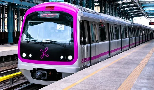
Madavara (BIEC) Metro Station on the Green Line is 13 km from the project, 20 to 25 minutes by road. Goraguntepalya Metro and Hub is 20 km away, about 35 minutes.
Railway Stations
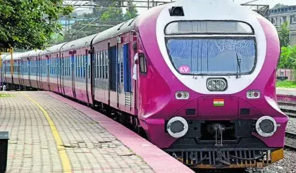
Nelamangala Railway Station is the nearest, 4.2 km away and 10 to 12 minutes by road. Yeshwanthpur Railway Station is 25 km away, around 45 minutes.
Airport Access
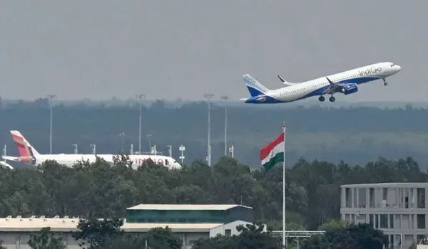
Kempegowda International Airport is 45 km from the layout. The drive takes 50 to 60 minutes via Tumakuru Road / NH-48.
Ring Roads
The Satellite Town Ring Road (STRR) and the Peripheral Ring Road (PRR) are proposed, upcoming infrastructure for the region. They are not part of the travel times in the table above.
Industrial Hubs, Tech Parks and Bus Routes
- Parle-G Factory: 15 minutes via NH-48.
- Dabaspet Industrial Hub: 20 minutes via Tumkur Road.
- Peenya Industrial Area: 30 minutes via NH-48.
- Electronic City: 40 minutes via NICE Ring Road.
- Global Village Tech Park: 45 minutes via NICE Road.
- BMTC bus 258-P: connects KR Market to Kanegowdanhalli.
- BMTC bus 258-C (KBS–GDP): connects Majestic to Gangadharpalya.
Schools, Hospitals and Shopping Near the Project
Nelamangala town has schools, hospitals and shopping within a few kilometres of the KNS Win City layout, and larger malls and institutions lie further along NH-48 towards Bengaluru.
Schools Near KNS Win City
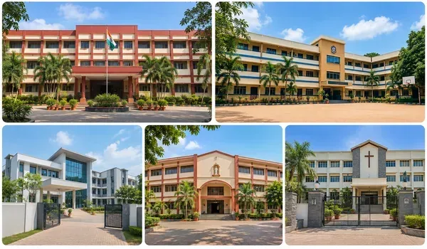
- MKV English High School3.6 km (8 min)
- Harsha International School3.9 km (10 min)
- Harsha International Public School4.5 km (10 min)
- Thomas Memorial School4.8 km (12 min)
- EuroKids Preschool, Nelamangala5.2 km (12 min)
- Kanva Public School5.4 km (15 min)
- New Navodaya School6 km (15 min)
- Orchids International7.5 km (18 min)
- Delhi Public School (DPS)15 km (25–30 min)
- The Bangalore International School18 km (35 min)
Hospitals Near KNS Win City
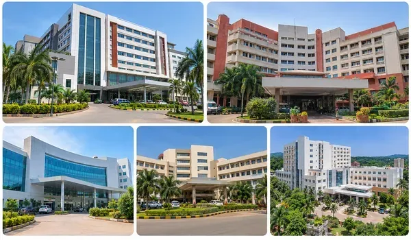
- Harsha Hospital3.5 km
- Aasare Hospital3.6 km
- Amrutha Superspeciality Hospital4.4 km
- V.P. Magnus Hospital4.6 km
- Nelamangala General Hospital5 km
- Ushas Hospital6.2 km
- Manipal Hospital, Yeshwanthpur22 km
Shopping Near KNS Win City
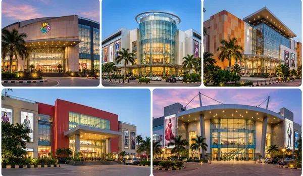
- Vishal Mega Mart4.5 km
- Nelamangala Town Market5 km (12 min)
- Croma Nelamangala5.1 km
- Rockline Mall15.2 km
- Vaishnavi Sapphire18.8 km
- Orion Mall20.4 km
- Phoenix Mall of Asia22 km
Why the KNS Win City Location Works
The KNS Win City address combines highway access, rail and metro links, and established town amenities. These are the main location points for plot buyers.
- On the NH-48 corridor: the Bengaluru–Tumakuru Expressway is 2.5 km away.
- Rail and metro links: Nelamangala Railway Station is 4.2 km away and Madavara (BIEC) Metro Station is 13 km away.
- Industrial neighbours: Dabaspet, Peenya and the Parle-G Factory are 15 to 30 minutes away.
- Daily needs close by: schools from 3.6 km, hospitals from 3.5 km and shopping from 4.5 km.
- Proposed ring roads: the STRR and PRR are upcoming infrastructure for the region.
- A larger township: Phase III is 74 acres with 1,225 plots inside a township of 165+ acres and 2,500 plots.
About Nelamangala
Nelamangala is the taluk headquarters on the Bengaluru–Tumakuru Expressway / NH-48. The project falls in Kasaba Hobli, Nelamangala Taluk, Bengaluru Rural District, and the PIN code is 562123.
The town has its own schools such as MKV English High School and Harsha International School, hospitals including Harsha Hospital, Aasare Hospital and Nelamangala General Hospital, and a town market 5 km from the layout. Vishal Mega Mart and Croma are also in Nelamangala.
Industrial areas make up the local economy around the town. Dabaspet Industrial Hub and the Parle-G Factory are 15 to 20 minutes away, and Peenya Industrial Area is 30 minutes away by NH-48.
Nelamangala and Bengaluru
The layout is marketed as Nelamangala, Bengaluru, off Tumkur Road. Bengaluru is reached along NH-48, and the Green Line station at Madavara (BIEC) is 13 km from the site. Yeshwanthpur Railway Station and Manipal Hospital, Yeshwanthpur are 25 km and 22 km away.
Larger shopping destinations in Bengaluru are within reach as well. Rockline Mall is 15.2 km away, Vaishnavi Sapphire 18.8 km, Orion Mall 20.4 km and Phoenix Mall of Asia 22 km. Delhi Public School is 15 km away and The Bangalore International School is 18 km away.
Tech employment hubs can be reached by the NICE roads: Electronic City in 40 minutes and Global Village Tech Park in 45 minutes. Kempegowda International Airport is 45 km away.
KNS Win City Address and Coordinates
The KNS Win City address filed with Karnataka RERA is below. The Karnataka RERA registration number is PRM/KA/RERA/1250/307/PR/290825/008039, and the layout is BMRDA-approved under plan no. NPA/LAO/86 and 87/2023-2024, dated 23 August 2024.
Address:
Sy No. 10/4 & others, Ananthapura Village and Sy No. 52/1 & others, Machonayakanahalli Village, Kasaba Hobli, Nelamangala Taluk, Bengaluru Rural District, Karnataka – 562123, India.
Short form: Ananthapura & Machonayakanahalli Village, Kasaba Hobli, Nelamangala, Bengaluru Rural – 562123.
Coordinates: 13.1313714, 77.3796437
Plus Code: 7J5V49JH+GV
The site is 2.5 km beyond the Nelamangala Toll Plaza along NH-48. Schedule a site visit and the team will share directions along with the price sheet and plot details.

See the Location for Yourself
Schedule a site visit to KNS Win City at Nelamangala. The team will share directions, plot details and the price sheet in one place.
KNS Win City Location FAQs
Quick answers on the address, distances and connectivity around KNS Win City at Nelamangala.
KNS Win City is at Ananthapura and Machonayakanahalli villages, Kasaba Hobli, Nelamangala Taluk, Bengaluru Rural District, Karnataka – 562123. It is off the Bengaluru–Tumakuru Expressway / NH-48 (Tumkur Road), 2.5 km beyond the Nelamangala Toll Plaza.
The RERA-filed address is Sy No. 10/4 & others, Ananthapura Village and Sy No. 52/1 & others, Machonayakanahalli Village, Kasaba Hobli, Nelamangala Taluk, Bengaluru Rural District, Karnataka – 562123, India.
The coordinates are 13.1313714, 77.3796437 and the Plus Code is 7J5V49JH+GV. Either can be entered in a maps app to find the layout.
The Bengaluru–Tumakuru Expressway / NH-48 (Tumkur Road) is 2.5 km away, about 5 minutes by road. The project sits 2.5 km beyond the Nelamangala Toll Plaza along NH-48.
Madavara (BIEC) Metro Station on the Green Line is 13 km away, a drive of 20 to 25 minutes. Goraguntepalya Metro and Hub is 20 km away, about 35 minutes.
Nelamangala Railway Station is 4.2 km away, about 10 to 12 minutes. Yeshwanthpur Railway Station is 25 km away, about 45 minutes.
The airport is 45 km from the project, about 50 to 60 minutes via Tumakuru Road / NH-48.
Parle-G Factory is 15 minutes away via NH-48 and Dabaspet Industrial Hub is 20 minutes via Tumkur Road. Peenya Industrial Area is 30 minutes via NH-48, Electronic City is 40 minutes via NICE Ring Road and Global Village Tech Park is 45 minutes via NICE Road.
MKV English High School is 3.6 km away and Harsha International School 3.9 km. Harsha Hospital is 3.5 km away, Aasare Hospital 3.6 km and Amrutha Superspeciality Hospital 4.4 km.
No. The Satellite Town Ring Road (STRR) and the Peripheral Ring Road (PRR) are proposed, upcoming infrastructure for the region.